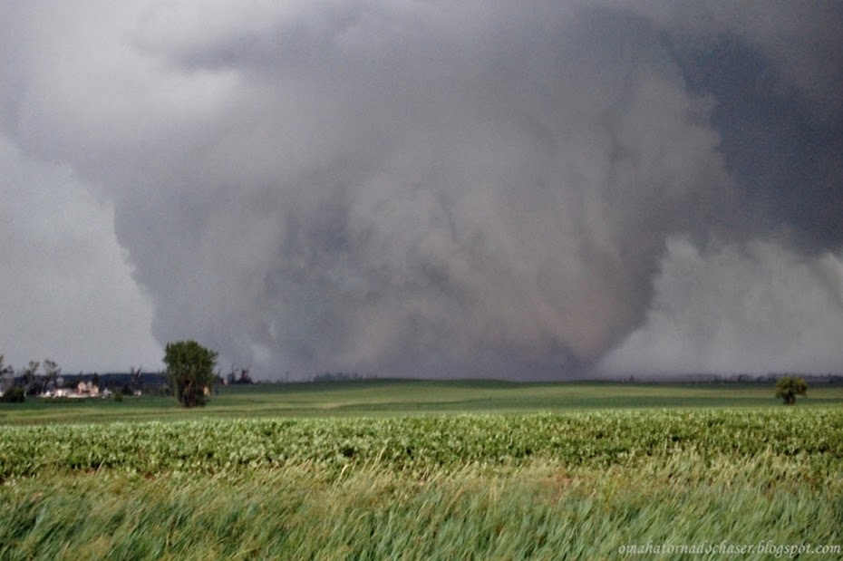
We left Omaha heading for the area near the Nebraska and Kansas border south of Kearney. I was hoping for some discrete cells that would give us the best chance of tornadoes. I also had rented a wide angle lens that I was excited to be able to use to hopefully catch some good structure.
Storms fired mainly in Kansas so we headed south into Kansas for the first time this season. Unfortunately, most of the storms never really exhibited strong rotation that was anything close to producing a tornado, so we ended up just playing around with the some of the stronger storms hoping to see something cool.
At one point, a small line of storms formed that were warned for strong winds. I figured this could be a good chance to get a good shot of a shelf cloud. We headed back west a bit to the storms and were treated to a beautiful shelf cloud and it was as dark as night back behind the shelf cloud. We had some time to take some shots and were also by a railroad track so it the scene made for some good shots. Finally the storm overtook us with some gusty winds and a lot of blowing dust.
We proceeded on again heading south a bit to try and get down to the southern "tail end Charlie" storm, which normally has the best chance of a tornado. We drove into pouring rain which made the going slow. Eventually we turned east and tried to get back in front of the line. About this time the line of storms had formed a pretty good bow echo and at the top of the apex of the bow a tornado warning was issued!
We desperately tried to get back up to that part of the storm but the forward motion of the storms were around 50-55 mph so it made it hard to catch up. Soon there were reports of a tornado on the ground and some damage reports started coming in.
We eventually did make it up to that part of the storm, but by that time the storms had weakened, so we started the drive home.
radar image of storm when tornado warning was issued and possible tornado on the ground
storm relative velocity showing strong velocity couplet(bright red next to bright green)
first shots of the shelf cloud coming into view
shot up the gravel road looking at the approaching shelf cloud
shelf cloud getting closer
some shots with the railroad track in the pic
another shot
southern edge of shelf cloud which had some rotation
blowing dust out along the leading edge of the shelf cloud and gust front


No comments:
Post a Comment